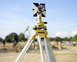
Setting Out Surveys
Purpose
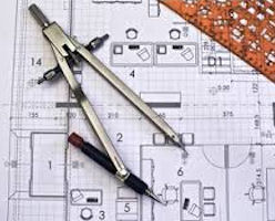
Once an architect or engineer has prepared an accurate plan of a proposed development we can then set out roads, buildings, services, boundaries etc. with pegs on the ground.
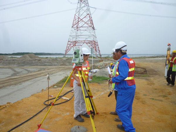
When the foundations for a building have been poured we can also accurately set out the internal/external walls with steel nails as markers. Gridlines and columns can also be set out.
When JM Surveys sets out points on a site, the client can be assured that these points are in the right place as per the plan.
Output
-
Pegs or stakes in the ground
-
Technical Report in PDF Format
-
2D/3D AutoCAD drawings
-
2D/3D Microstation drawings
-
Hard copy drawings
-
Drawings in PDF Format
-
Excel File containing point information
Application
-
Transport – Setting Out alignment of roads, highways and rail lines.
-
Energy – Setting Out position of pipeline routes using GPS.
-
Oil and Gas – High precision Setting Out of new facilities in refineries.
-
Buildings & Structures – Setting Out location of building foundations for new builds.
-
Risk Management – Setting Out location of existing utilities.