

Hydrographic Surveys
Purpose
The objective of a hydrographic survey is to produce a three-dimensional drawing of a particular water feature, from streams to oceans. Hydrographical Surveys include all natural and man-made features along the watercourse which are represented by text, lines and symbols on the drawing. Typical features include top of bank levels, bottom of bank levels, water levels, bed levels, spot heights and contours. Typical structures include weirs, bridges and culverts.
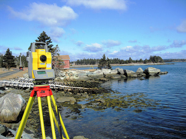
JM Surveys use a combination of high precision GPS, and sonar equipment to undertake hydrographic surveys. Survey information is processed through dedicated mapping software to produce the required outputs. Drawings can be supplied in Irish Transverse Mercator (ITM) or Irish National Grid (ING), coordinate systems and various scales depending on the site conditions and client specifications.
Output
-
Technical Report in PDF Format
-
2D/3D Auto CAD drawings
-
2D/3D Microstation drawings Hard copy drawings
-
Drawings in PDF Format
-
ASCII
-
MOSS
-
MIKE
-
ISIS
-
Cross Sections
-
Long Sections
-
A4, A3, A2, A1 and A0
Application
-
Flood defense – Surveys for rivers, canals and coastlines
-
Roads – Surveys of rivers and streams running through proposed route for roadways
-
Construction – Survey to assist in design for re-routing rivers and streams
-
Coastal – Measurement of tidal movements in coastal areas for port and harbour
-
Offshore resource development – study of the sea floor to aid in structure construction, anchoring and cable routing